The Roman Empire at its height, in 117 — Illustrated map
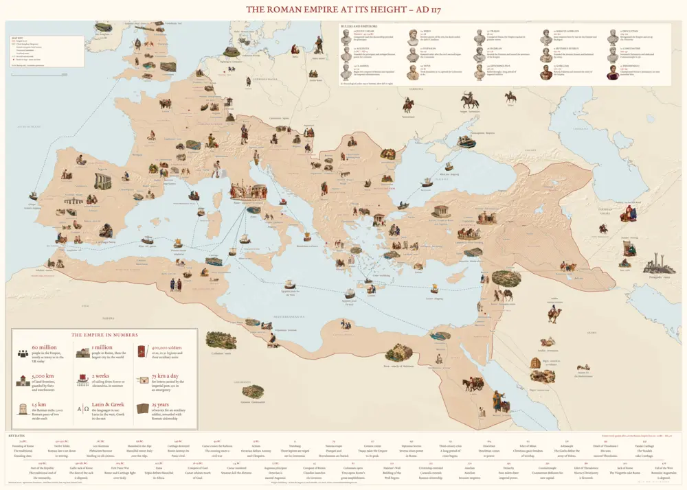
Enlarge · hover over the map to see it through the magnifier, click to open it full screen and zoom in.
© 2026 La Rose des langues. Reduced, watermarked preview. Copying this map, even in part, to sell another is an infringement — what the law says.
€45.99 delivery included
The Roman Empire at the death of Trajan in 117: its provinces on real relief, its cities under their ancient names, its roads and trade routes, more than a hundred illustrated scenes of life in the Empire, fifteen emperors and a timeline from the founding of Rome to the end of the Western Empire. Eleven editions: French, German, Italian, Spanish, English, Dutch, Polish, Swedish, Latin, Modern Greek and Ancient Greek.